Map from AllTrails app. Recommended direction: start at Klingenstock (right side of map) and hike west towards Fronalpstock (left side of map).
推荐方向:从地图右侧的 Klingenstock 出发,向西行进至地图左侧的 Fronalpstock。
A Photographer's Recommendation 摄影师的建议
As someone who enjoys photography, I always recommend starting alpine hikes as early as possible.
作为一名摄影爱好者,我始终建议尽可能在清晨出发进行高山徒步。
This applies to almost every hike in Switzerland.
这条建议适用于瑞士几乎所有的徒步路线。
In the early morning:
- Air clarity is usually at its best.
- Haze is minimal.
- Colors appear more saturated.
- Visibility is often significantly better than later in the day.
- The light is softer and more pleasant for photography.
清晨时分:
- 能见度通常处于最佳状态。
- 空气中雾霾最少。
- 色彩更加饱和。
- 清晰度通常比一天中晚些时候明显更好。
- 光线更柔和,更适合拍摄。
This is another reason why I prefer hiking from Klingenstock to Fronalpstock.
这也是我更倾向于从 Klingenstock 徒步至 Fronalpstock 的另一个原因。
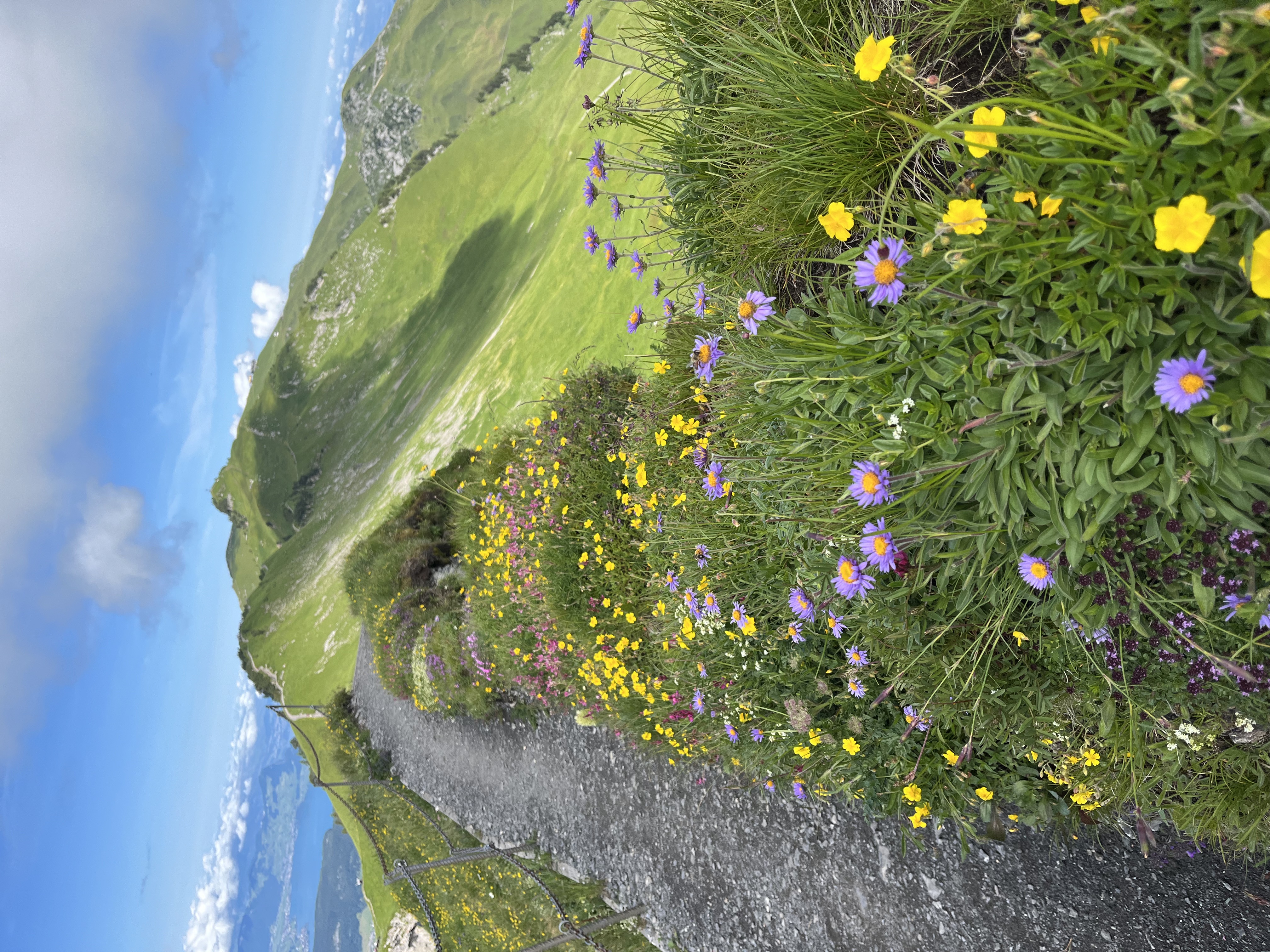
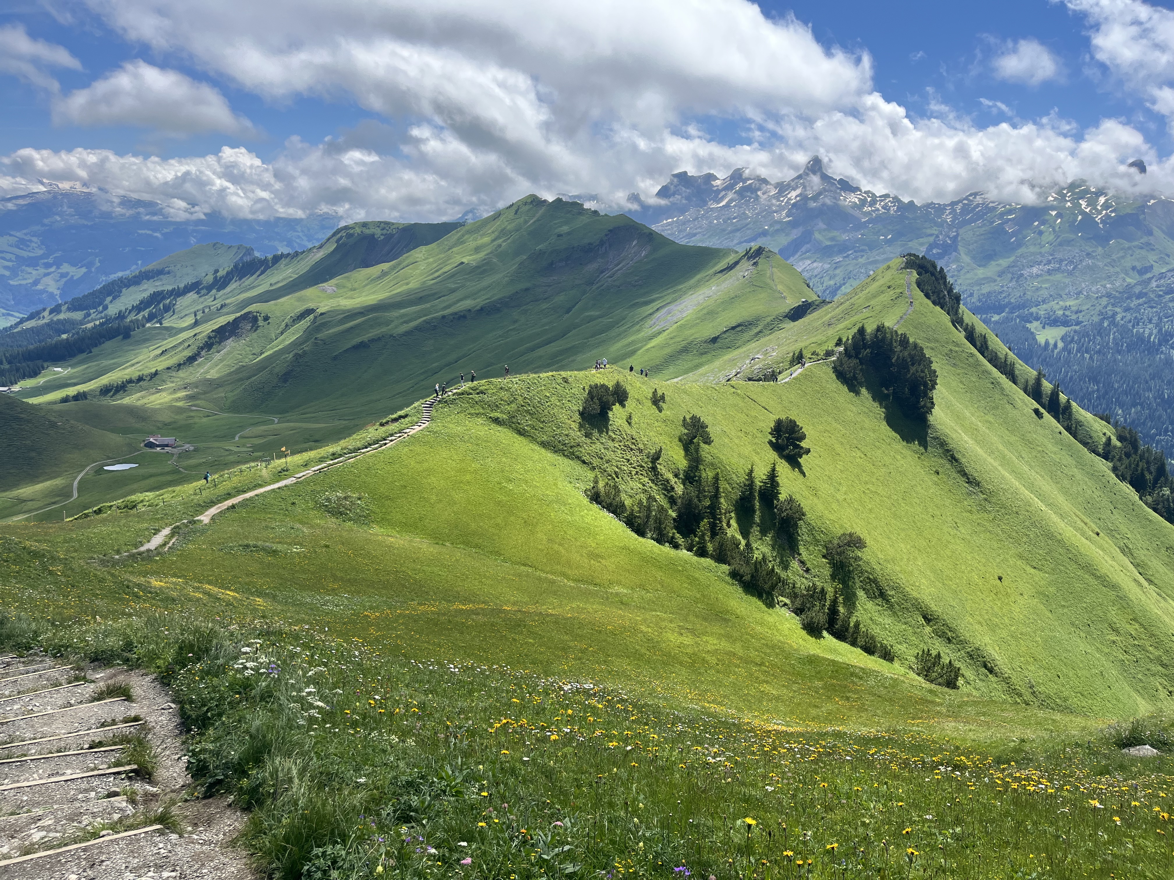
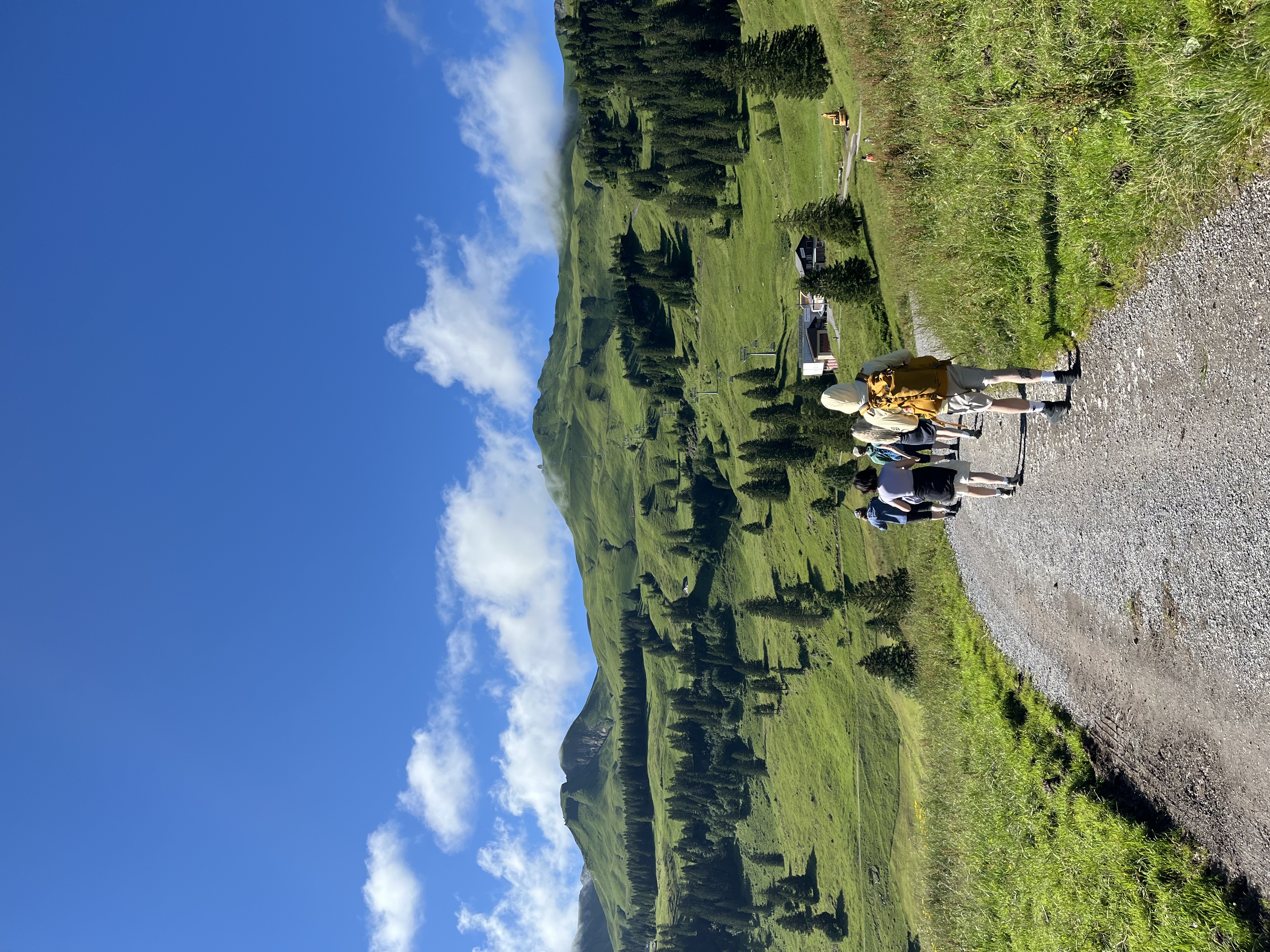
On most summer mornings, the sun is behind you when walking from east to west along the ridge. You avoid looking directly into strong sunlight, and even near midday the lighting conditions remain comfortable for both hiking and photography.
在大多数夏日清晨,从东向西沿山脊行进时,太阳会在你身后。无需直视强烈的阳光,即使接近正午,光线条件对徒步和拍摄来说仍然相当舒适。
Things You Should Know Before Going 出发前须知
1 It is not completely effortless 并非完全轻松
While I would not consider this a difficult hike, it is not a casual walk either.
虽然我不认为这是一条困难的路线,但它也绝非随意的散步。
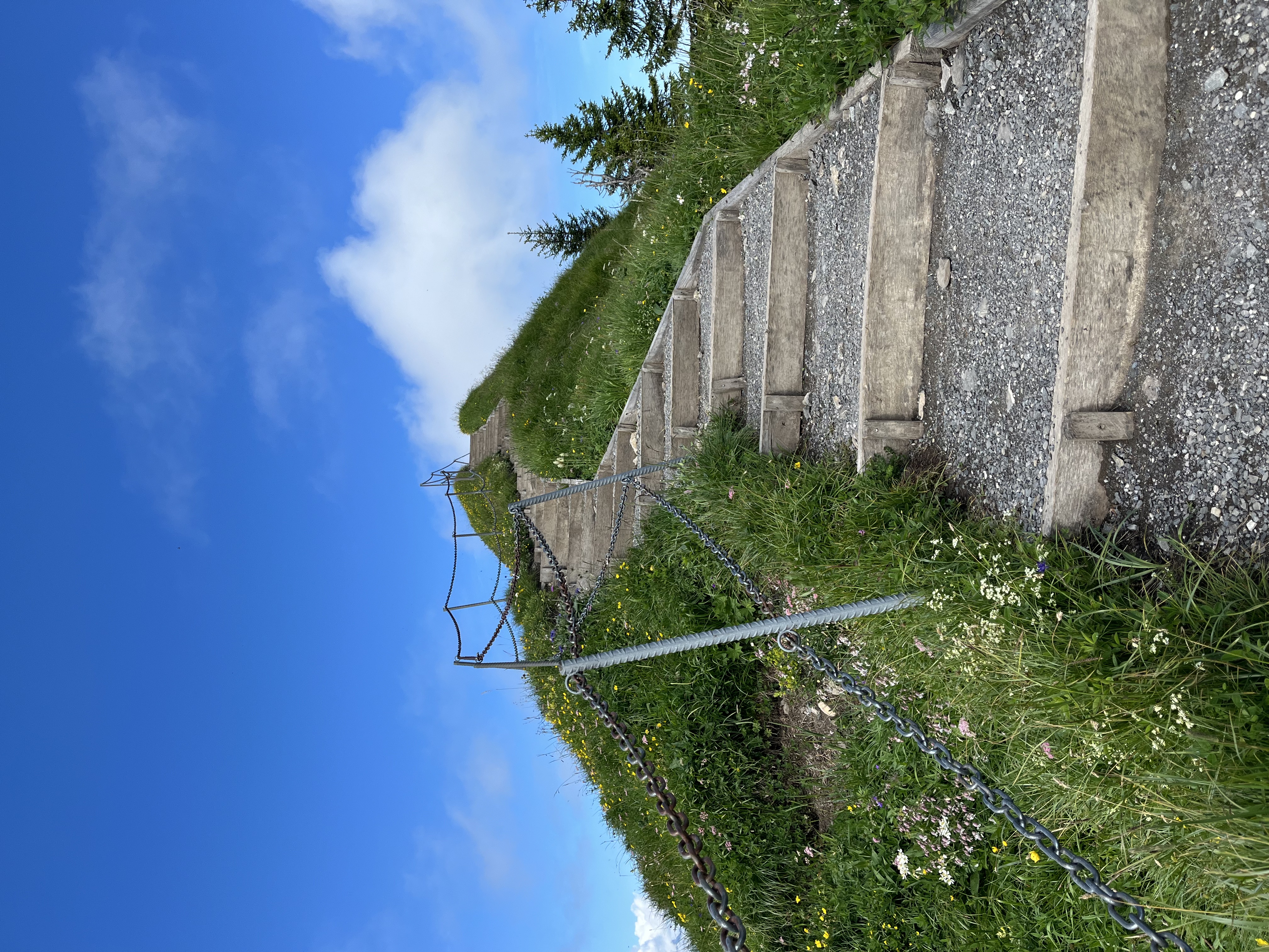
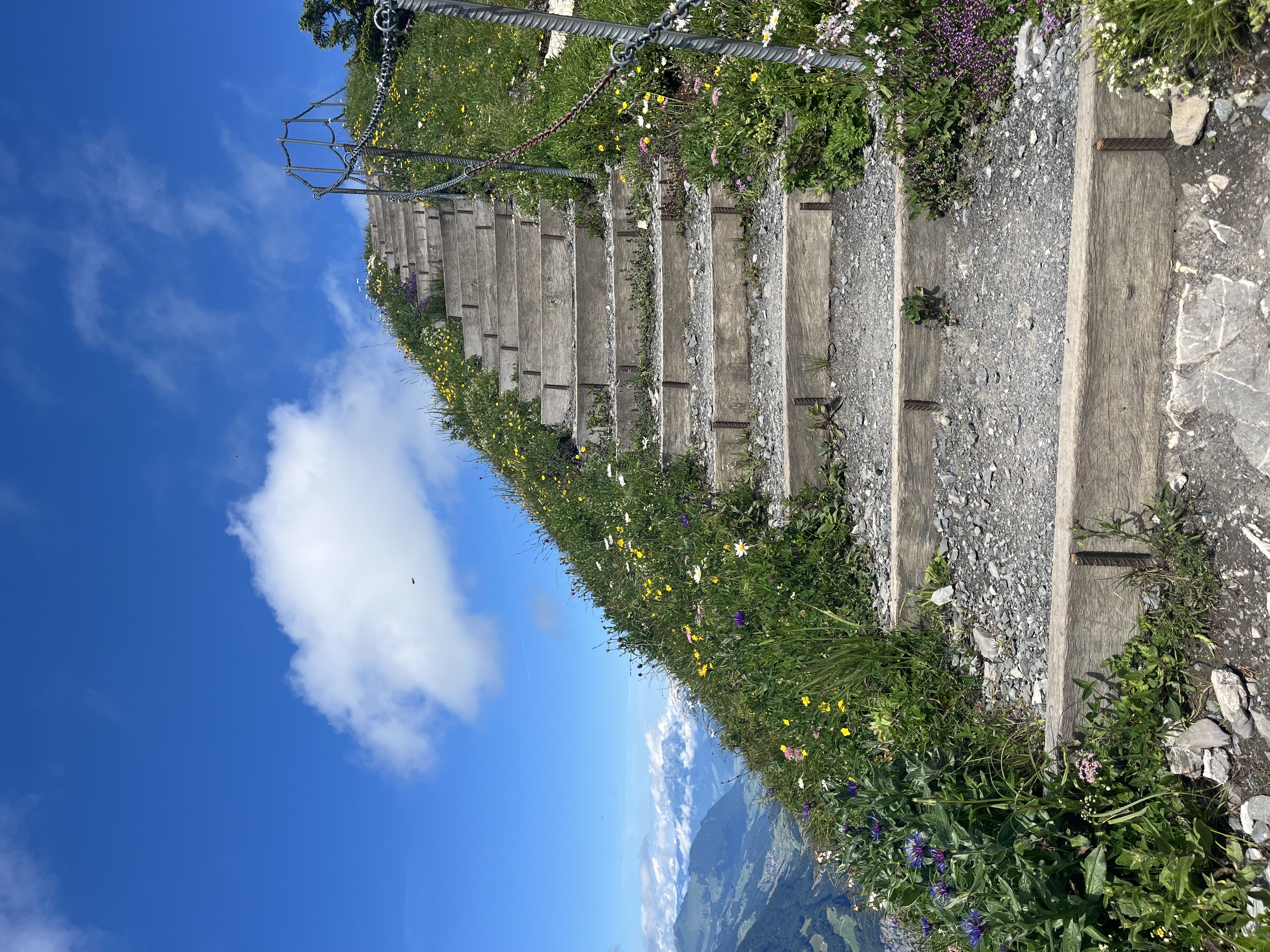
People who rarely exercise may find certain sections challenging, especially the steeper climbs near the beginning of the route.
对于平时很少运动的人来说,某些路段可能会有挑战性,尤其是路线初段较为陡峭的上坡部分。
If you hike occasionally and have a reasonable fitness level, however, the trail should be very manageable.
但如果你偶尔徒步、体力尚可,这条路线应该完全可以胜任。
2 There is almost no shade 几乎没有遮荫处
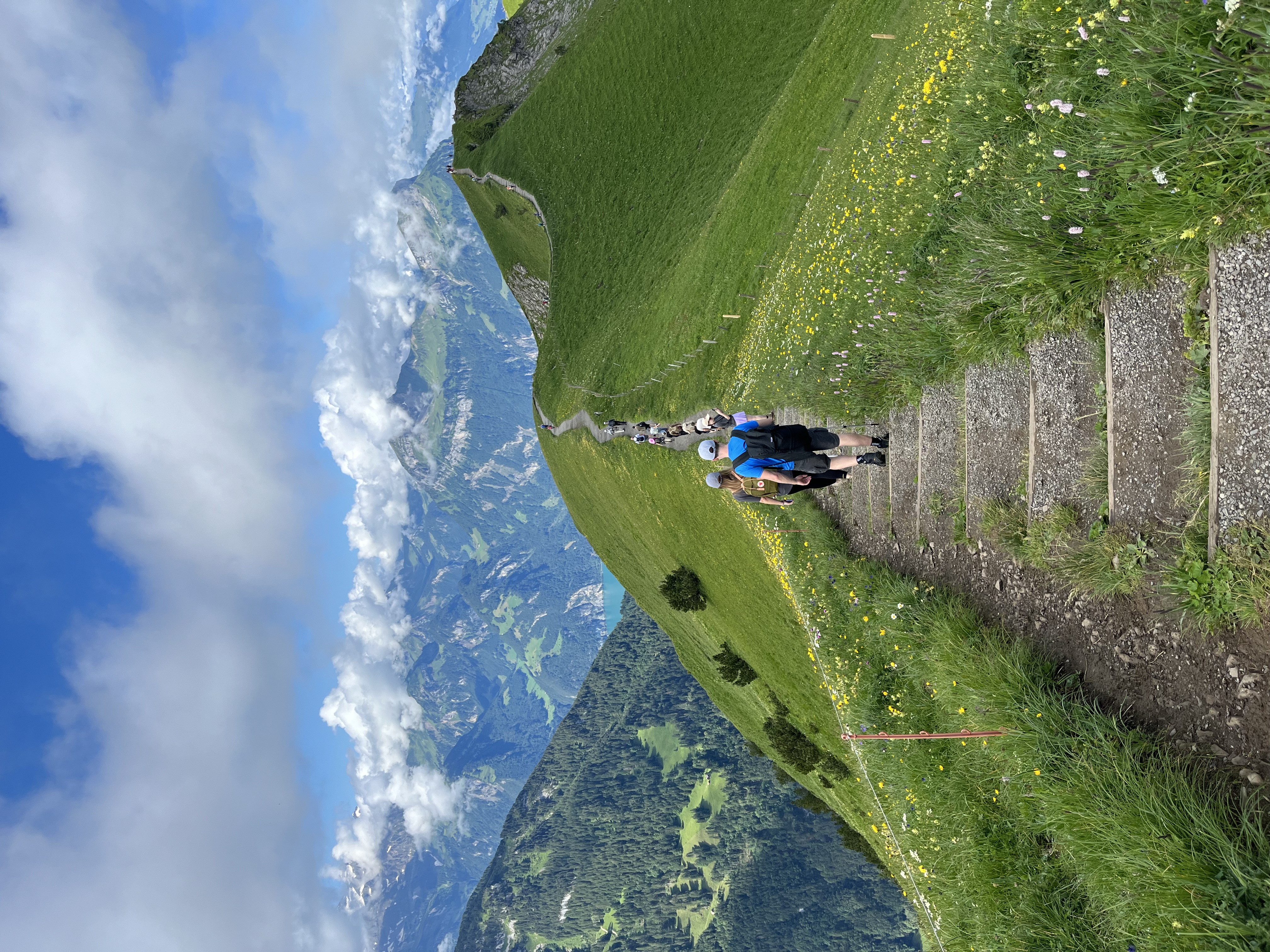
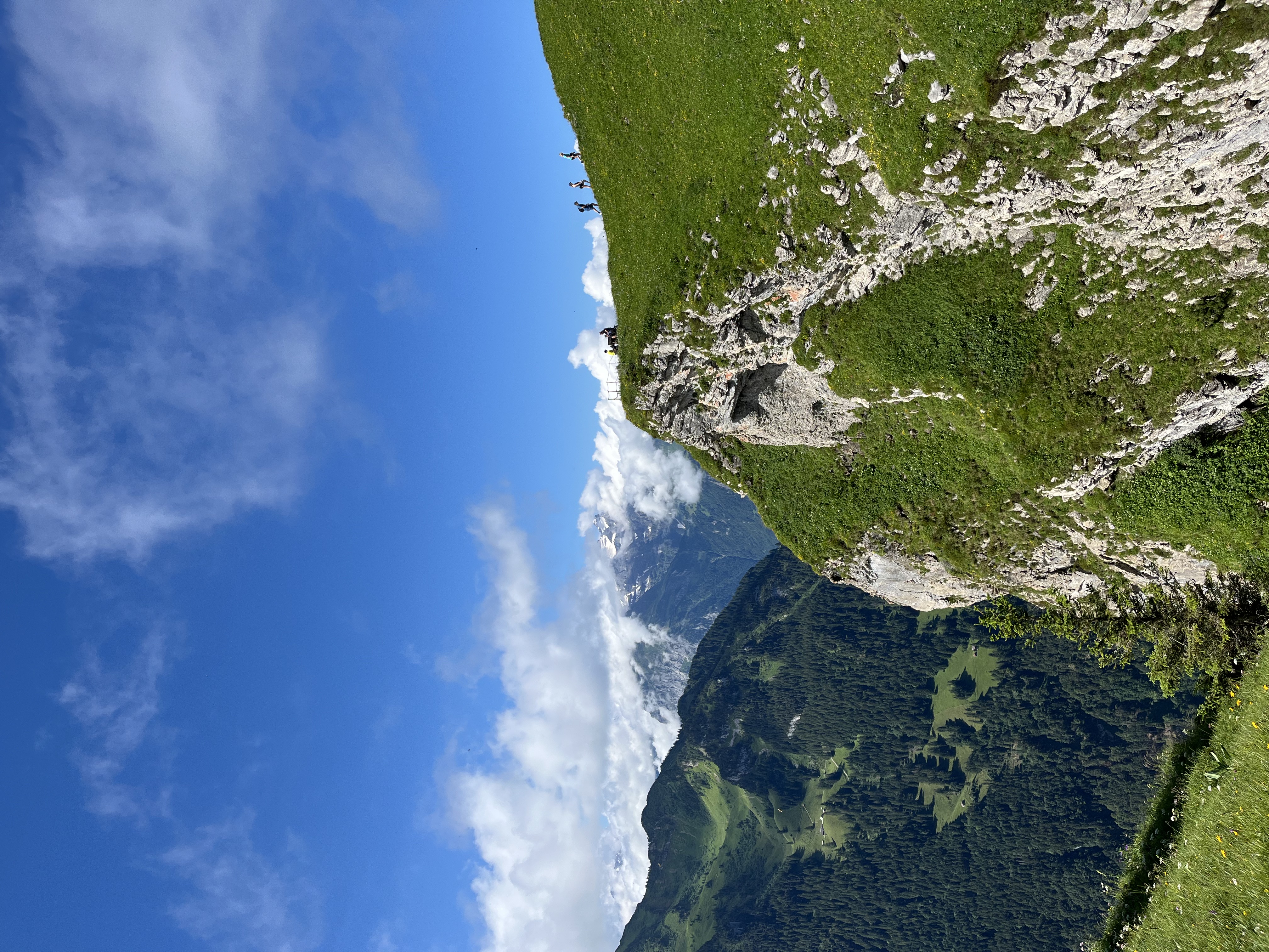
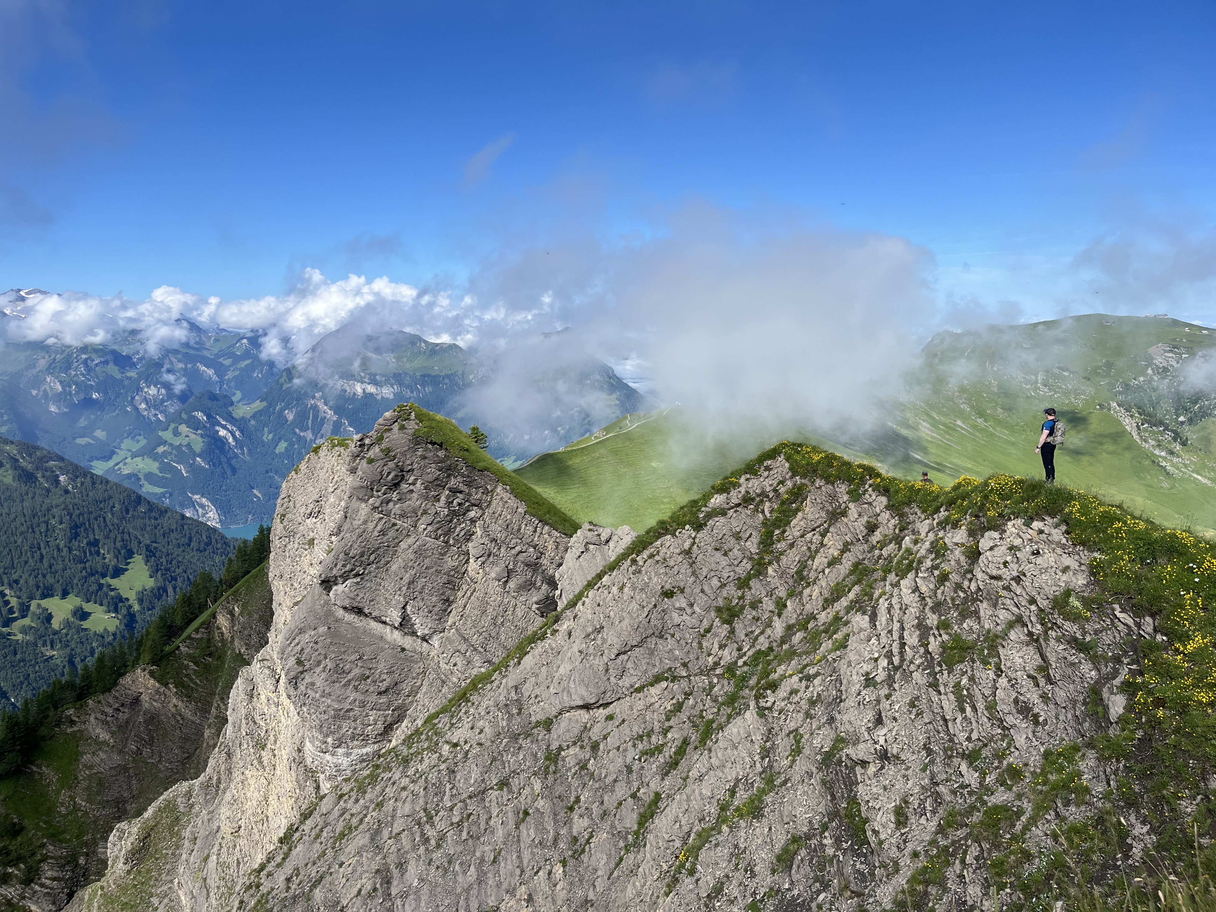
This is an exposed ridge hike.
这是一条暴露的山脊路线。
There are very few trees along the route, meaning almost no protection from the sun.
沿途几乎没有树木,意味着几乎没有任何遮蔽阳光的地方。
On warm summer days, especially around noon and in the afternoon, the heat can feel surprisingly intense.
在温暖的夏日,尤其是正午前后,阳光直射可能出乎意料地强烈。
I strongly recommend:
- Bringing sufficient water
- Using sunscreen
- Wearing a hat or cap
- Starting early whenever possible
我强烈建议:
- 携带充足的饮用水
- 涂抹防晒霜
- 佩戴帽子或遮阳帽
- 尽可能早出发
3 No facilities on the ridge 山脊上没有任何设施
Once you leave the stations, there are:
一旦离开站点,沿途将没有:
- No toilets
- No food stands
- No drinking water points
- 无厕所
- 无餐饮摊点
- 无饮用水补给点
Make sure you bring everything you need before starting.
请务必在出发前备齐所有所需物品。
4 Wear proper footwear 请穿着合适的鞋履
You do not need heavy mountaineering boots for this trail.
这条路线不需要专业登山靴。
A good pair of hiking shoes or sturdy sports shoes is usually sufficient.
一双优质的徒步鞋或结实的运动鞋通常已经足够。
However, I would avoid:
- Sandals
- Casual fashion shoes
- Leather dress shoes
但建议避免穿:
- 凉鞋
- 休闲便鞋
- 皮革正装鞋
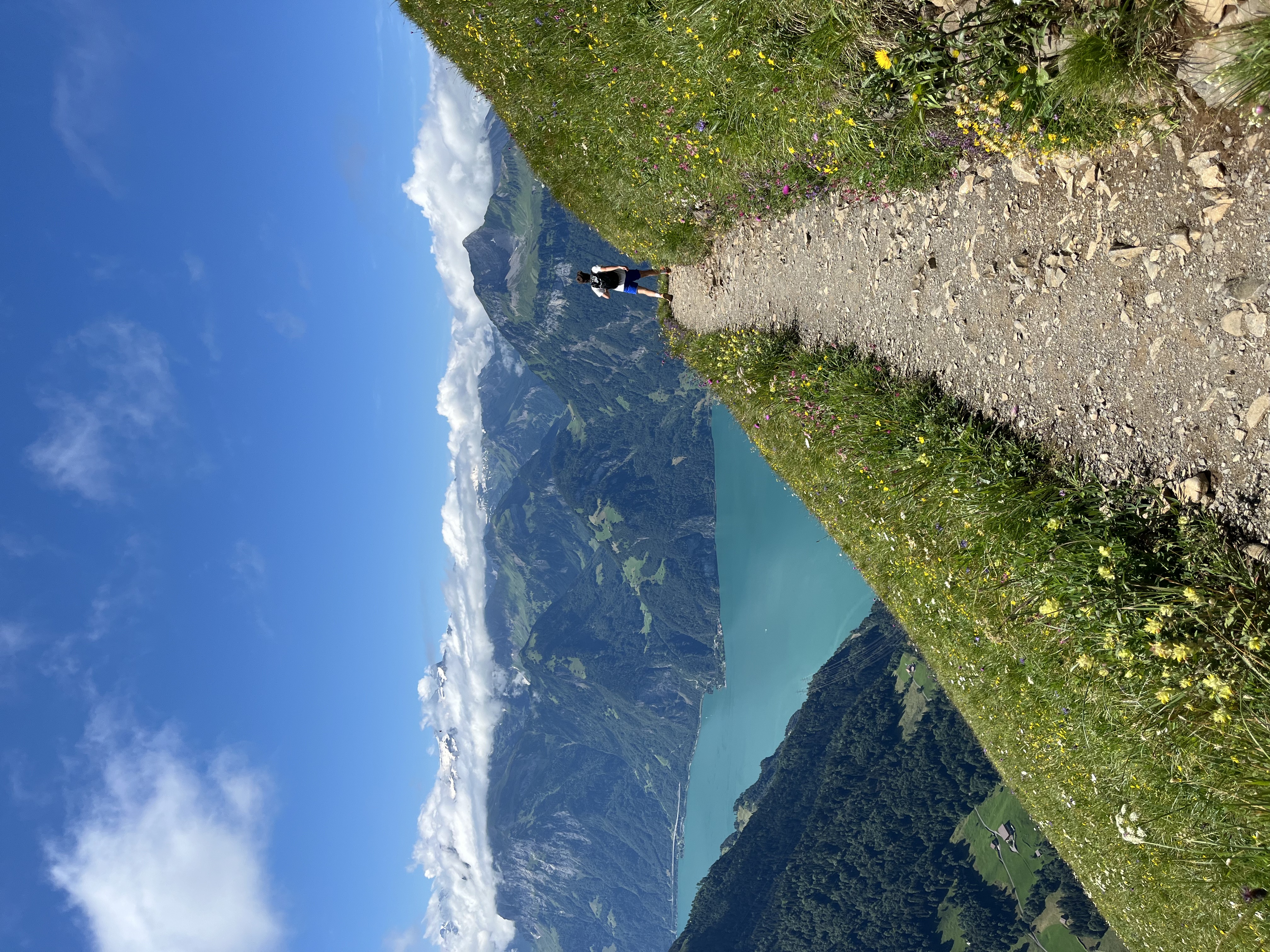
The trail includes uneven terrain where proper grip is important.
路线涉及不平整的地形,合适的鞋底抓地力非常重要。
5 Hiking poles are helpful — but not always 登山杖有帮助,但并非随时都适用
I highly recommend hiking poles, especially for the steeper sections.
我强烈推荐使用登山杖,尤其是在较陡的路段。
They can save a significant amount of energy during climbs and reduce stress on your knees during descents.
登山杖能在上坡时节省大量体力,并在下坡时减轻膝关节的负担。
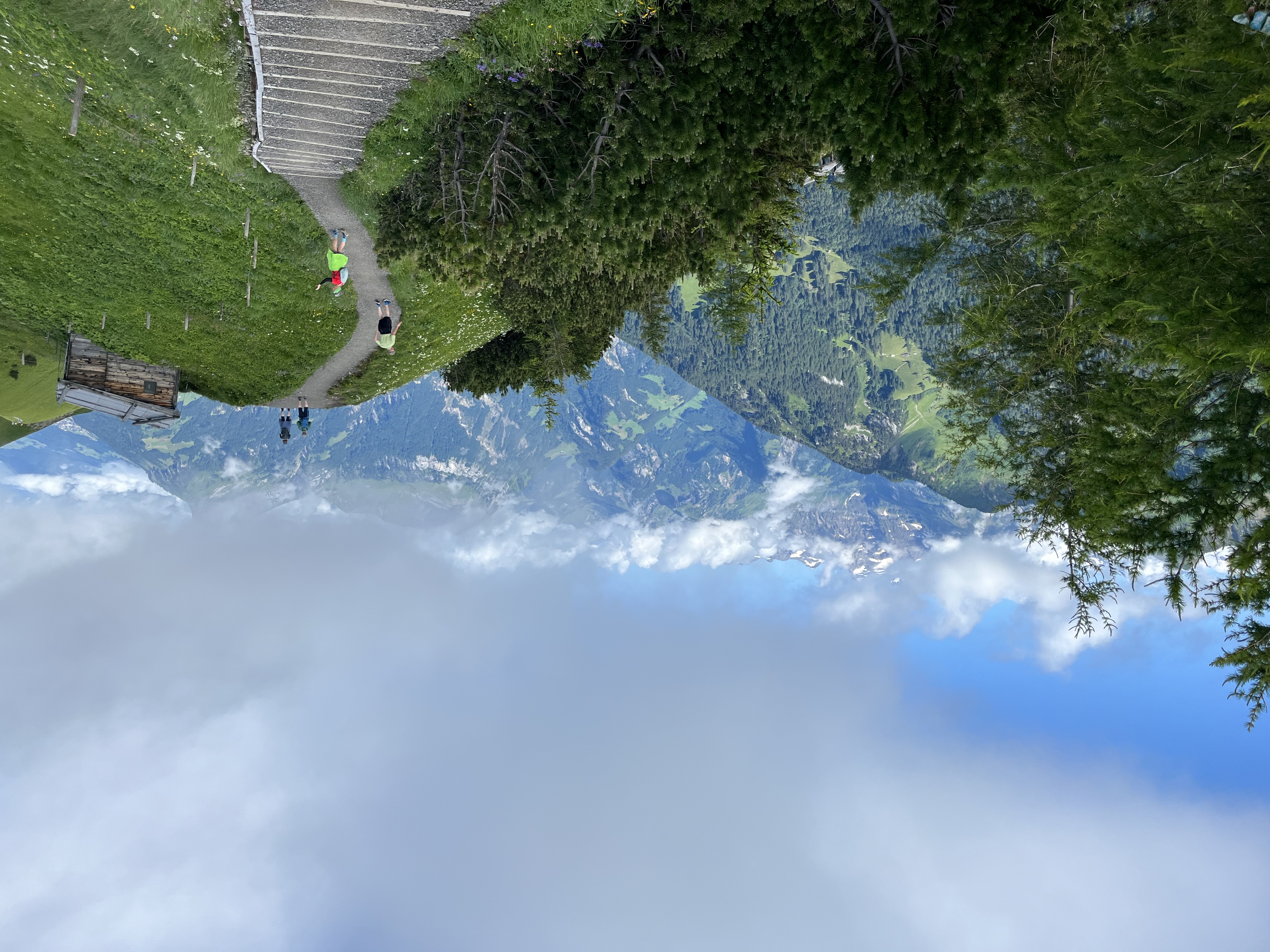
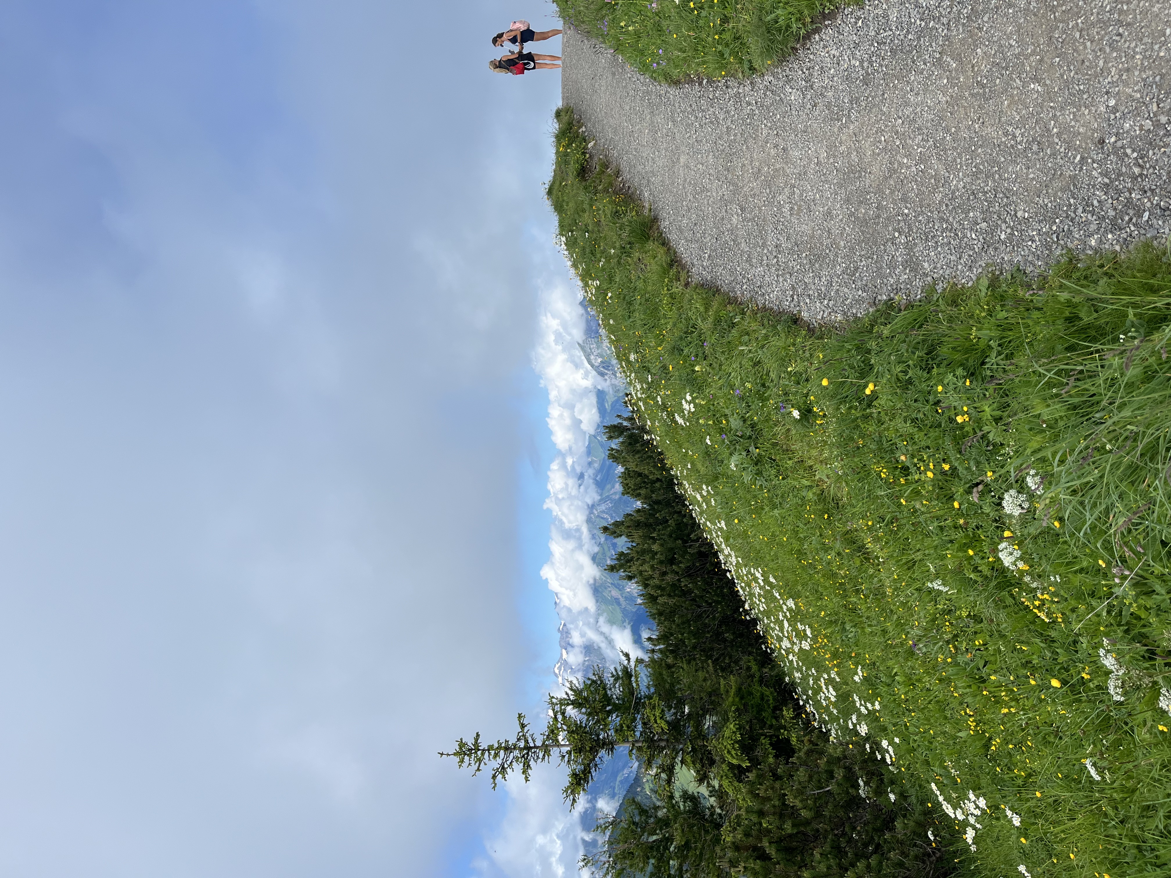
That said, Stoos Ridge is a very popular route. During busy periods, some sections can become crowded.
不过,Stoos 山脊是一条非常热门的路线,旺季某些路段可能相当拥挤。
On flatter and narrower stretches, I usually put my poles away to avoid slowing down other hikers or accidentally getting in someone's way.
在较平坦或较窄的路段,我通常会收起登山杖,以免妨碍其他徒步者。
Safety 安全注意事项
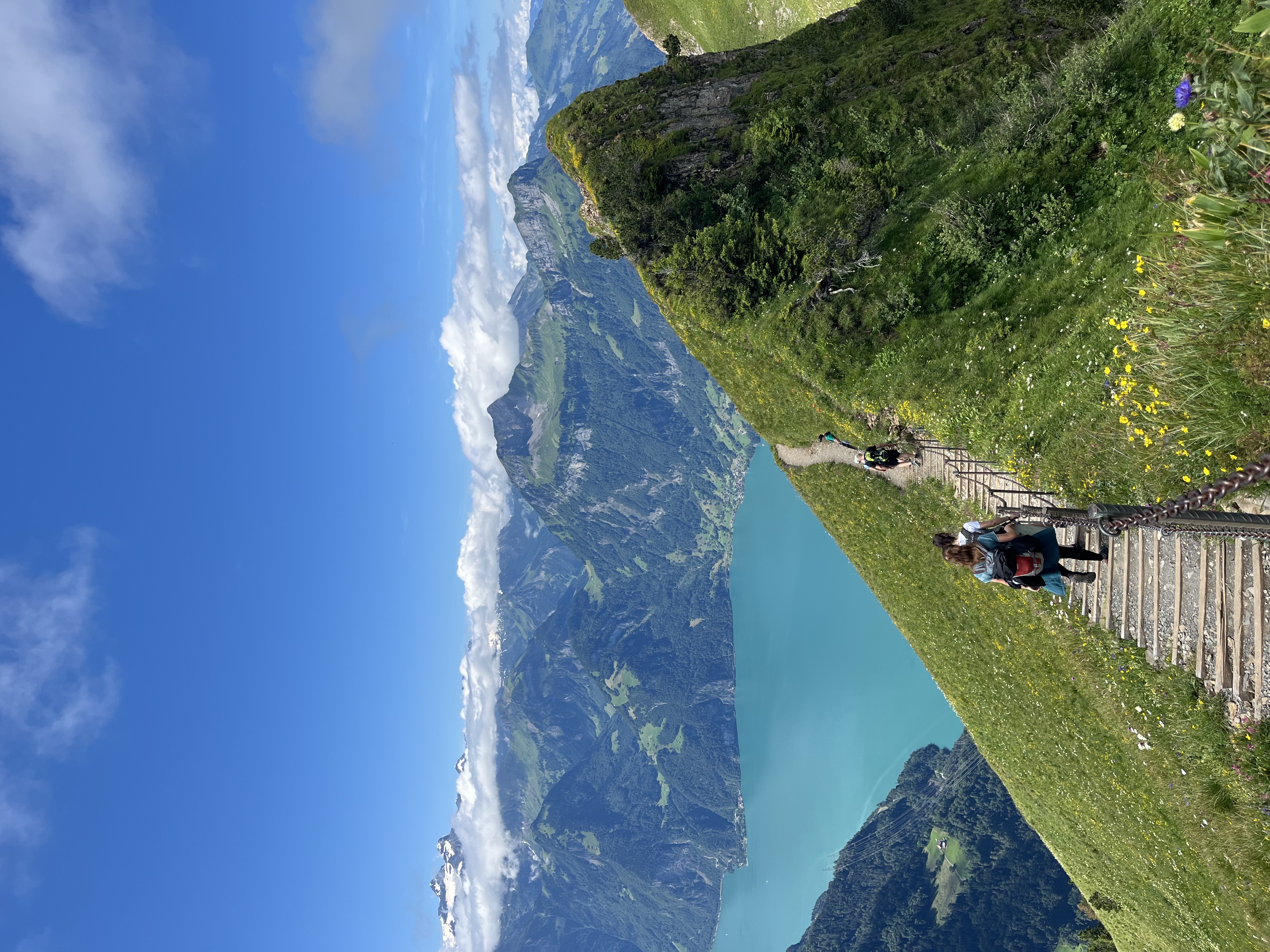
Although I personally consider the overall risk level relatively low, it is still a mountain ridge.
尽管我个人认为整体风险水平相对较低,但这毕竟是一条山脊路线。
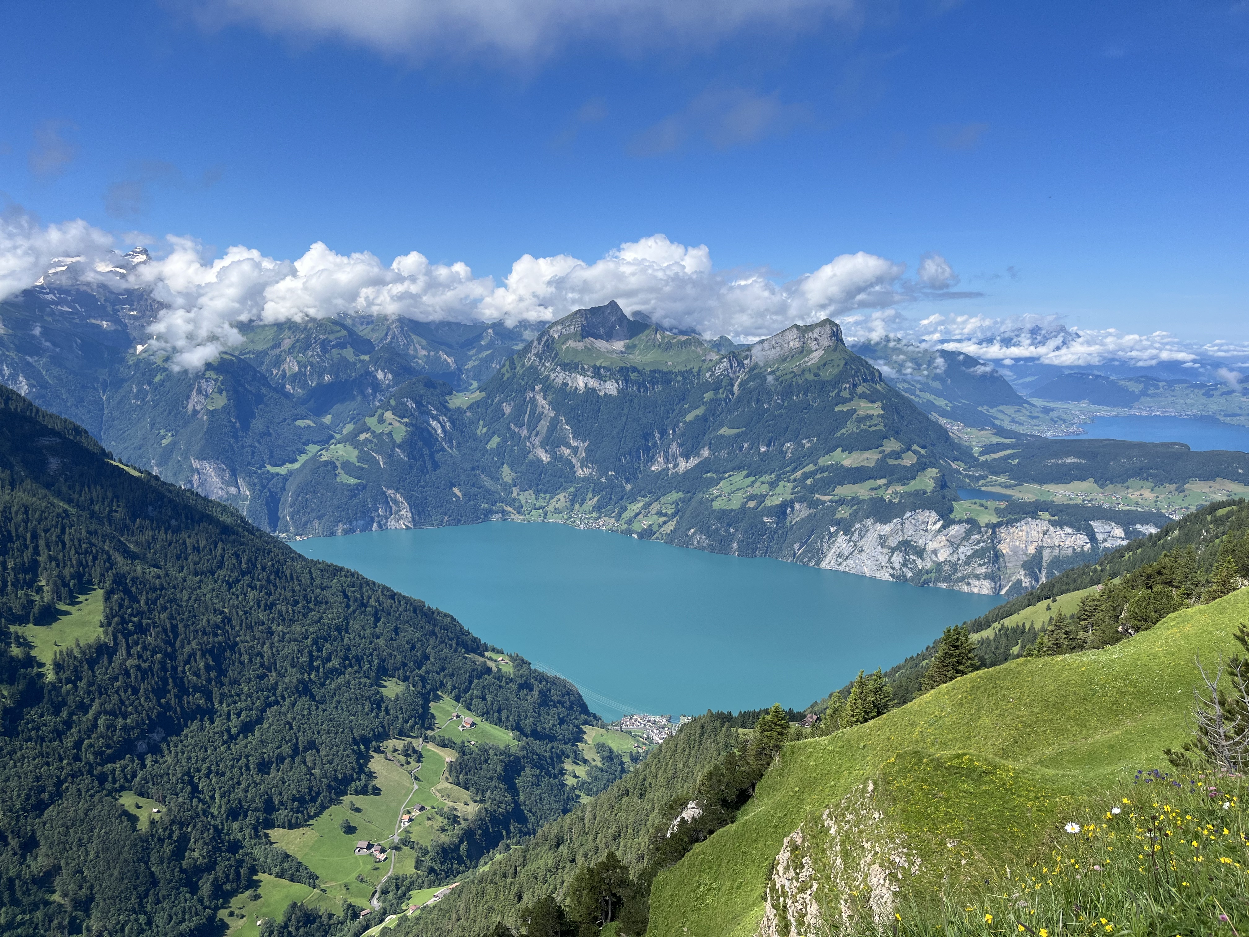
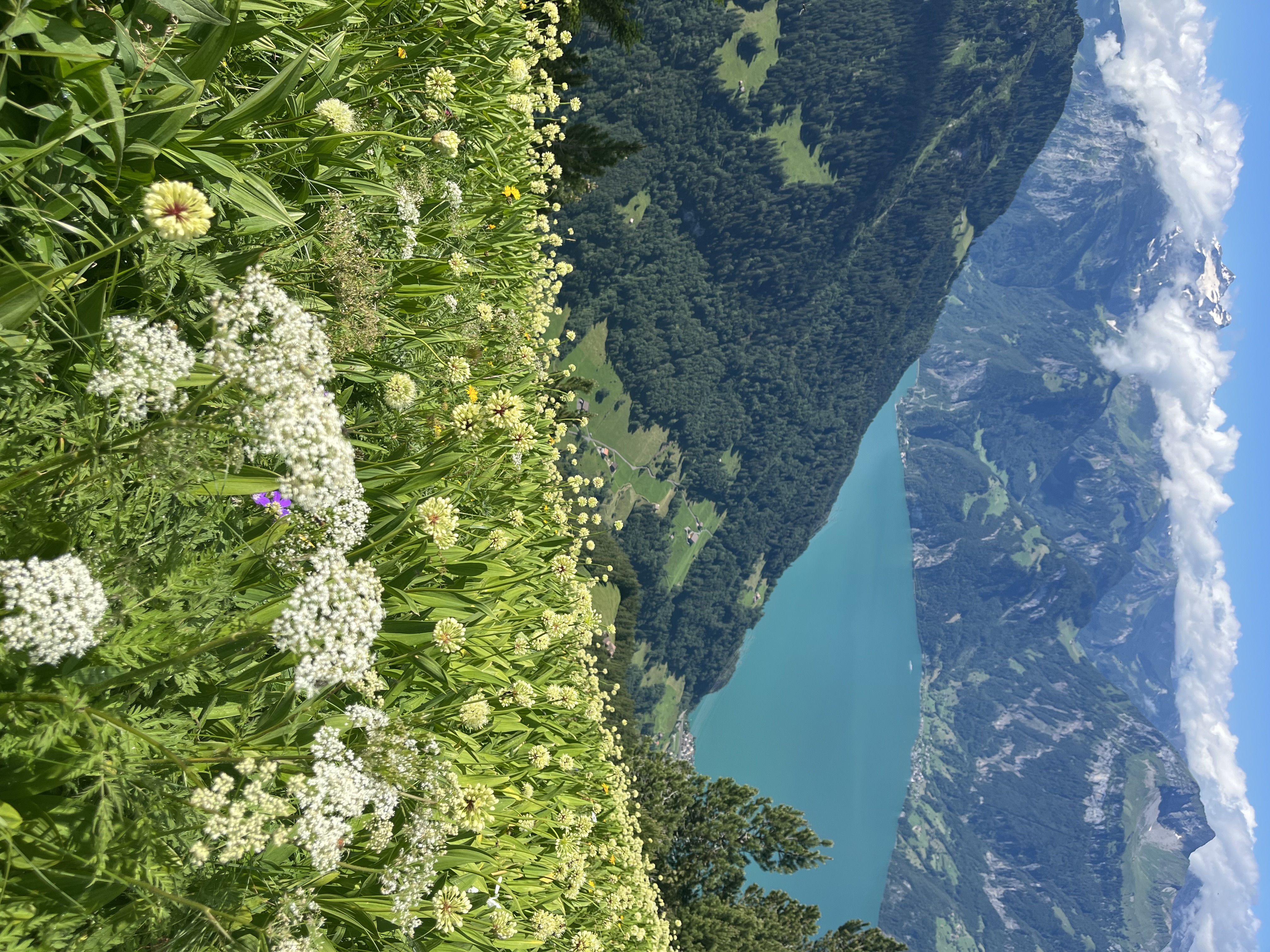
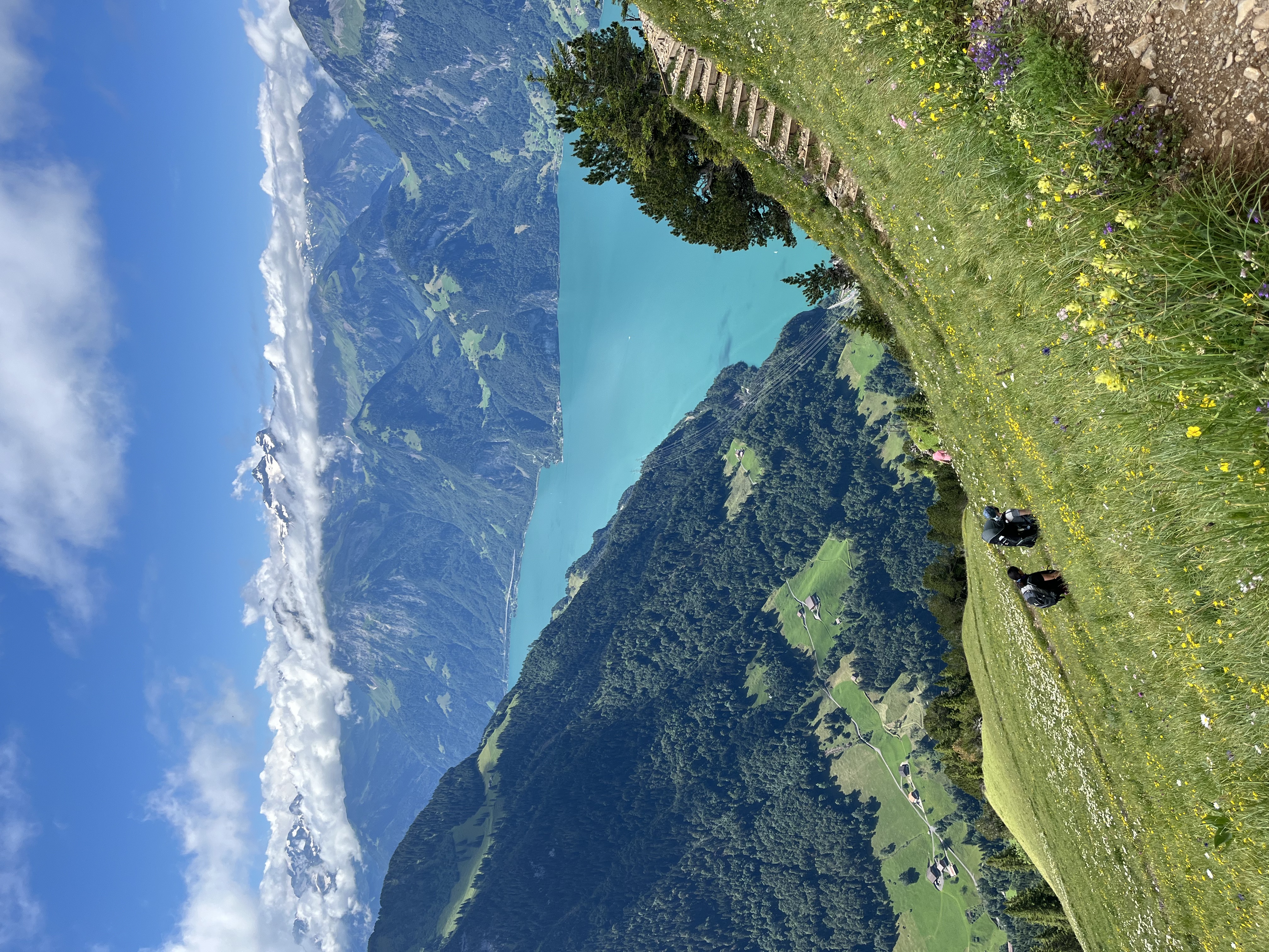
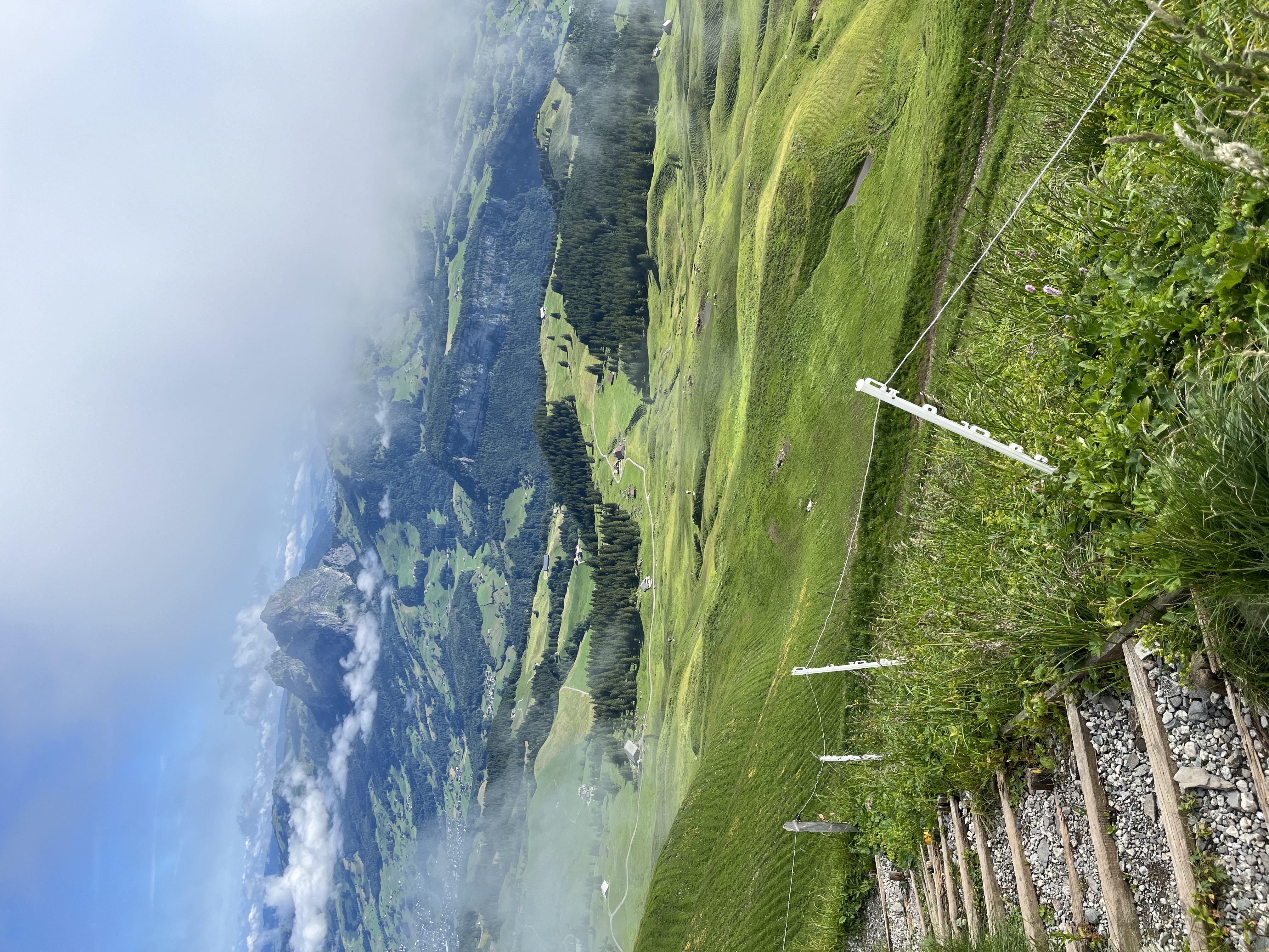
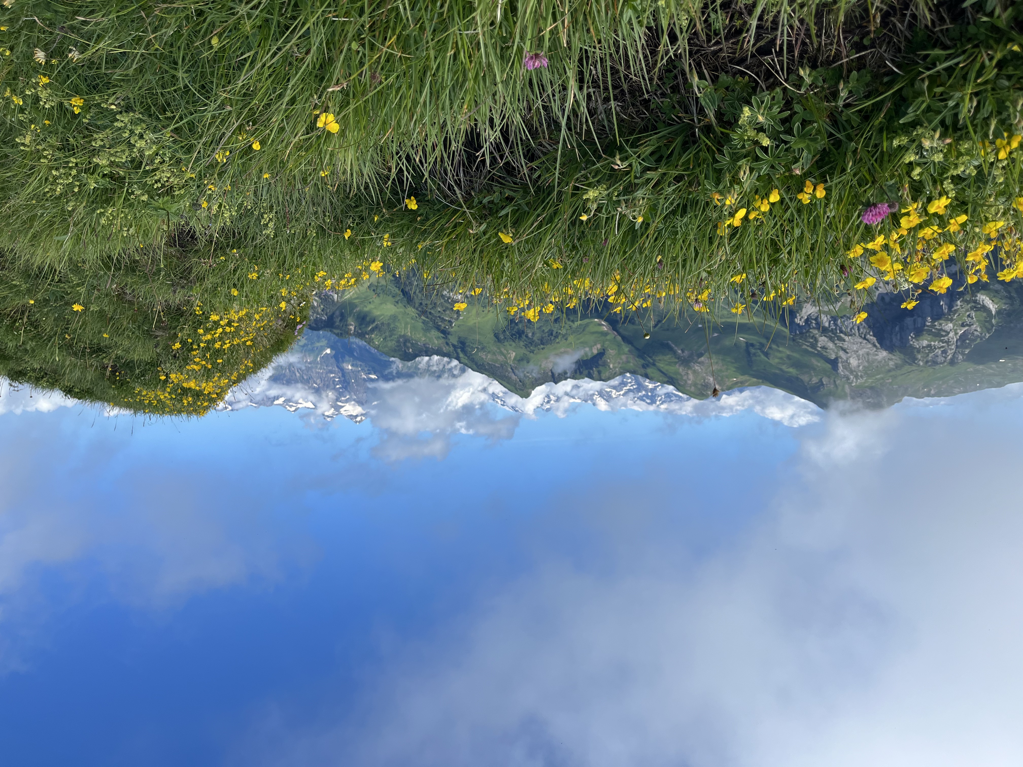
The views are spectacular and it is easy to become distracted while taking photos.
沿途风景令人叹为观止,很容易在拍照时分散注意力。
Always pay attention to where you are stepping, particularly when stopping for pictures or looking away from the trail.
请始终注意脚下,尤其是在停下来拍照或视线离开路面时。
No photograph is worth an injury.
没有任何一张照片值得以受伤为代价。
Getting There 交通与前往方式
Another highlight of this trip is the journey itself.
这次旅程的另一大亮点是前往途中的体验本身。
Before reaching the ridge, you can ride the famous Stoos funicular, which is often described as the steepest funicular railway in the world.
在抵达山脊之前,你可以乘坐著名的 Stoos 缆车——这条缆车常被描述为世界上坡度最陡的缆车。
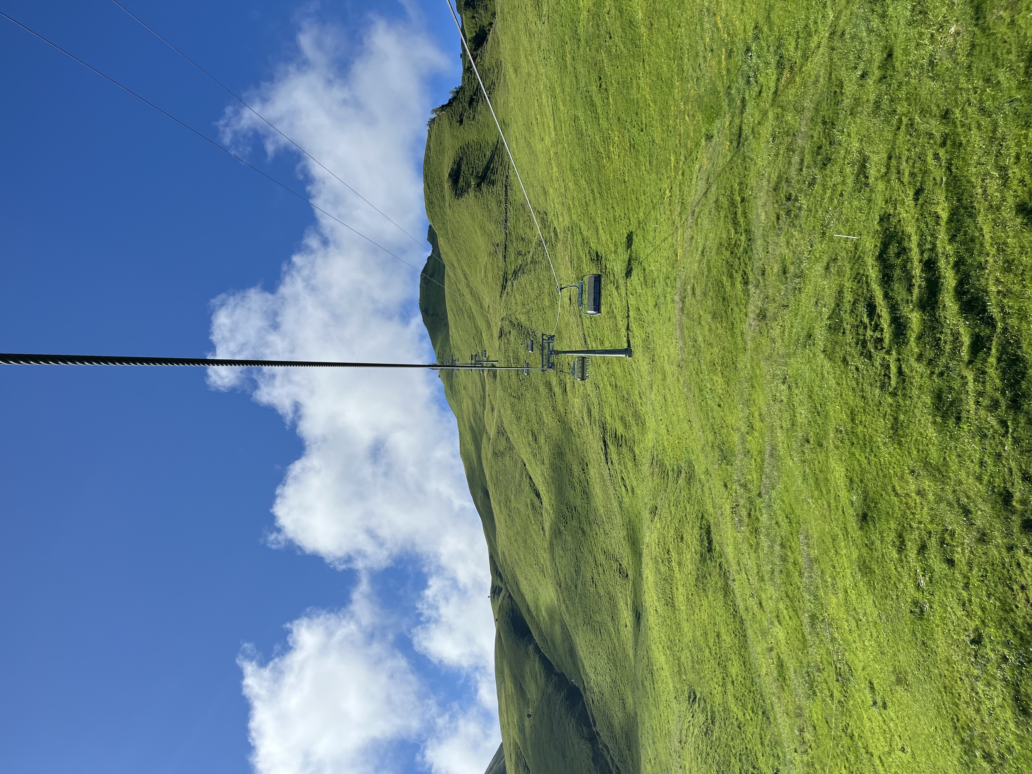
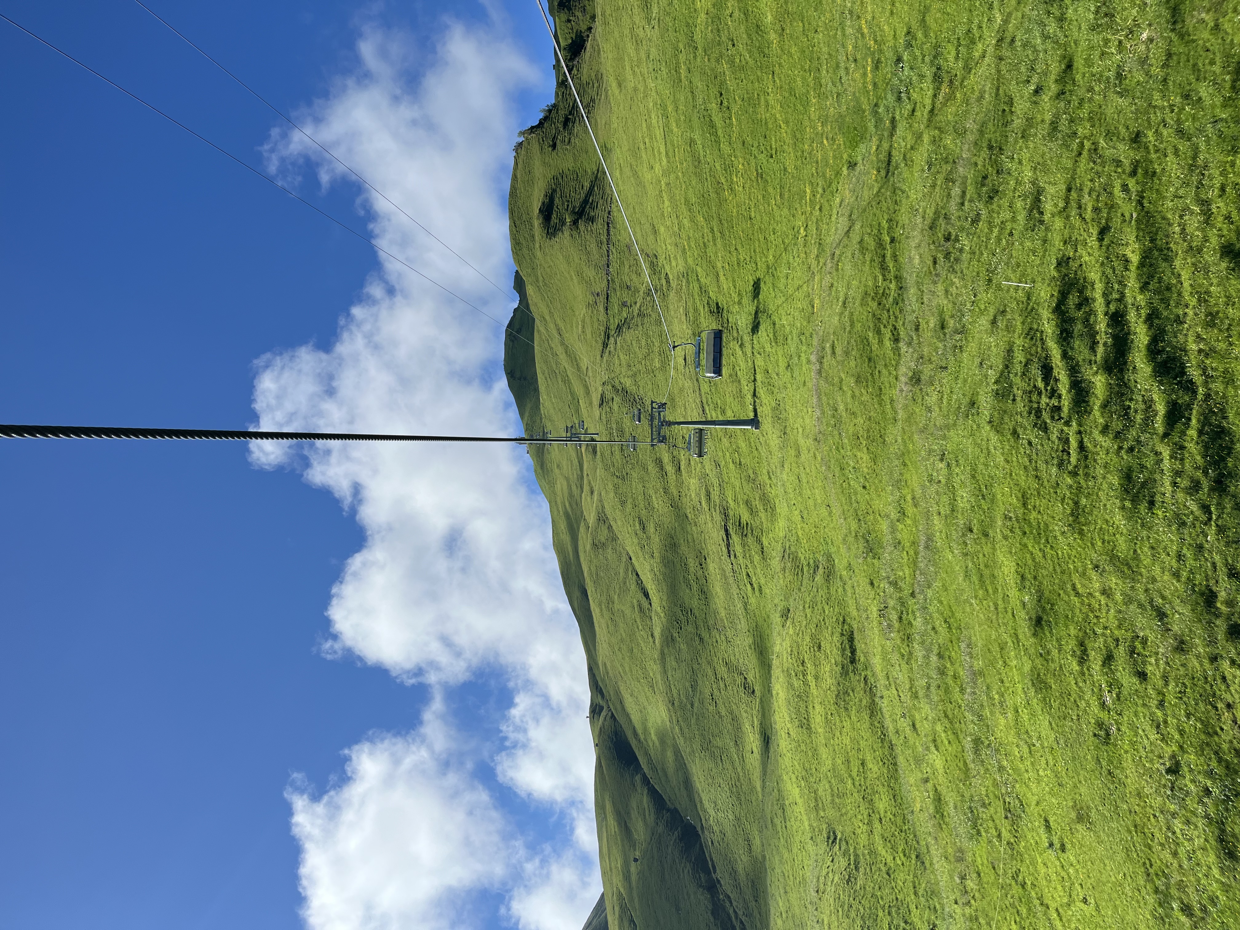
From Stoos village, you can then take the chairlift up to Klingenstock and begin the hike.
从 Stoos 村,可再乘坐椅式吊椅上行至 Klingenstock,然后开始徒步。
Transport schedules may change depending on the season, weather conditions, and maintenance work, so I recommend checking the official Stoos website before departure.
交通时刻表可能因季节、天气和维护工作而有所变化,建议出发前查阅 Stoos 官方网站。
I have included links to:
- The official Stoos website
- The live webcams
文章中附上了相关链接:
- Stoos 官方网站
- 实时摄像头
Checking the webcams before leaving home is one of the easiest ways to evaluate visibility and weather conditions in real time.
出发前查看摄像头画面,是实时评估山脊能见度和天气状况最简便的方式之一。
I also recommend using the MeteoSwiss app for weather updates during your trip.
我也推荐使用 MeteoSwiss 应用程序,在旅途中获取天气预报。
Final Thoughts 结语
Stoos Ridge remains one of my favourite hikes in Switzerland.
Stoos 山脊至今仍是我在瑞士最喜爱的徒步路线之一。
It offers an ideal balance between spectacular scenery, reasonable effort, and accessibility. Whether you are visiting Switzerland for the first time or have lived here for years, it is a route that deserves a place on your hiking list.
它在壮观的风景、适中的体力要求和便利的交通之间找到了理想的平衡。无论你是第一次来到瑞士,还是在这里生活多年,它都是一条值得列入徒步清单的路线。
If you have already completed the hike, or if you are planning to visit soon, feel free to leave a comment and share your experience.
如果你已经走过这条路线,或者正在计划近期前往,欢迎在下方留言分享你的体验。
On the Trail
Comments
Comments are reviewed before they appear publicly. The site owner can see all submissions.